


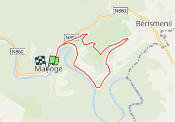

13.4 km | 18.8 km-effort

Tous les sentiers balisés d’Europe PRO


FREE GPS app for hiking
 SityTrail
IGN / Geographical institutes
SityTrail World
The world is yours!
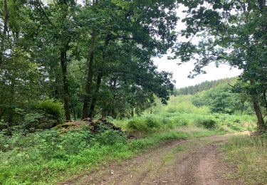
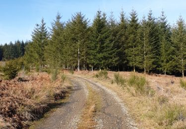
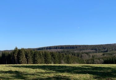
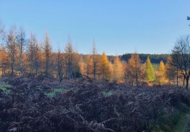
Trail On foot of 7.6 km to be discovered at Wallonia, Luxembourg, La Roche-en-Ardenne. This trail is proposed by SityTrail - itinéraires balisés pédestres.
Trail created by SI Berismelin.
Symbol: diamond


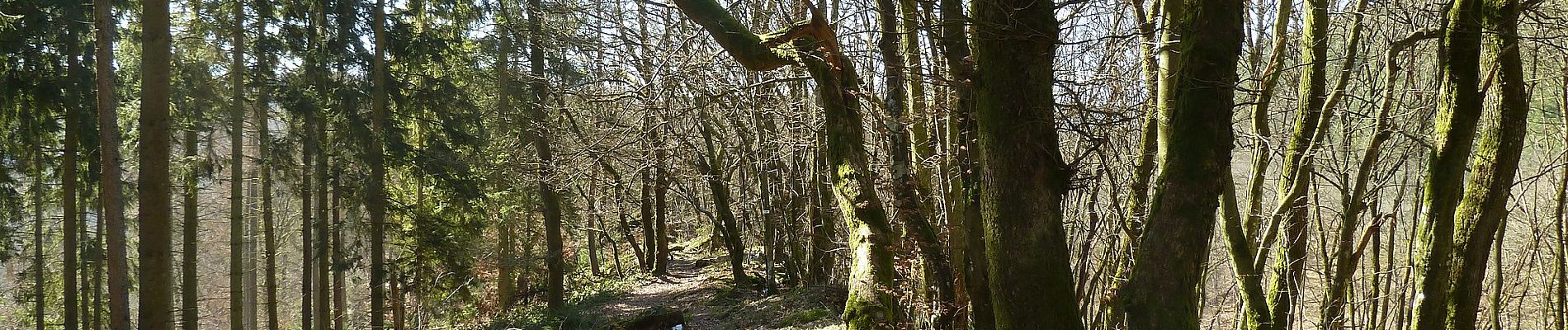
Walking

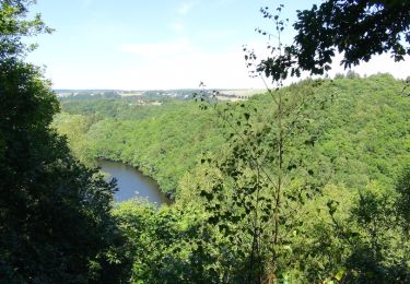
Walking

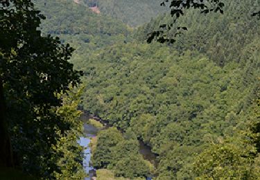
Walking
Walking
Walking
Walking

Walking
Walking
Walking